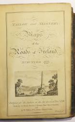
• Taylor and Skinner's Maps of the Roads of Ireland Surveyed 1777
    Taylor and Skinner's Maps of the Roads of Ireland ...
    George Taylor and Andrew Skinner
    £1,200
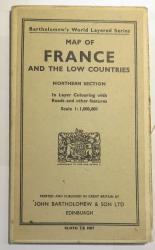
  • Bartholomew's World Layered Series. Map Of France And The Low Countries. Northern Section.
    Bartholomew's World Layered Series. Map Of France ...
    Bartholomew
    £20
  • Walker's England Folding Map of England & Wales on Linen Dated 1837
    Walker's England Folding Map of England & Wales on...
    J. & C. Walker
    £25
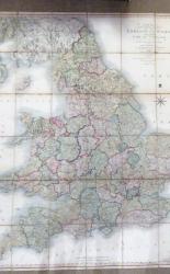
  • Smith's New Map Of England And Wales With part of Scotland Including The Turnpike and principal crossroads, June 1806 corrected to 1811
    Smith's New Map Of England And Wales With part of ...
    Charles Smith
    £160

4 products on 1 Pages.    Previous Next

Hear about new acquisitions first via our email newsletters.

Our website uses cookies so that you can place orders and we can provide a better service. Continue to use the site if you're happy with this, or find out how to manage cookiesx

Website Design by Hat Trick Media.