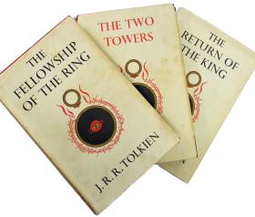
Sorry, you have reached an invalid or unknown product.
It may be that the product is out of stock or print - so please do contact us with your requirements and we will be happy to try to help you source the item.
Telephone: 01780 763033 Email: info@stmarysbooks.com
...or pay a visit to our shop in Stamford, Lincolnshire, UK
Skip navigationHome > Product Not Found
Sorry, you have reached an invalid or unknown product.
It may be that the product is out of stock or print - so please do contact us with your requirements and we will be happy to try to help you source the item.
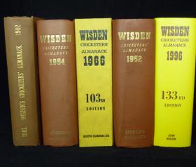
The Leading Dealers.
We are proud of the broad spectrum of Wisdens we have to offer with a wide range of years, bindings and conditions available.
View our Wisden Collection >